How the USS Abraham Lincoln Sails Without GPS or Radar
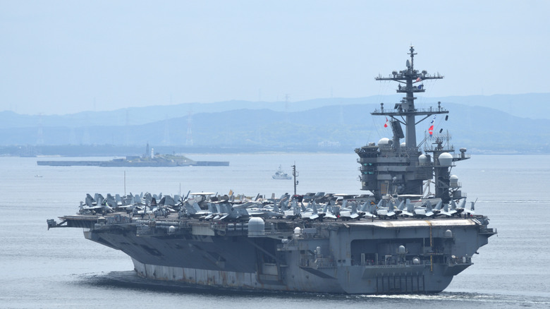
If you live in a big city or travel frequently, you're likely familiar with the convenience of apps like Google Maps and Apple Maps. These tools not only let you input your destination but also provide multiple routes, turn-by-turn directions, and details like speed limits and street names. However, navigating on the high seas presents a different set of challenges.
While there are instruments designed to help naval ships navigate open waters, situations can become complicated when large vessels like the USS Abraham Lincoln find themselves in hostile areas where communication and electronic systems might be compromised. In such cases, sailors rely on an ancient technique: celestial navigation.
Despite technological advancements, navigators aboard ships like the USS Abraham Lincoln still use this time-honored method. The U.S. Naval Institute has argued that every ship should be capable of navigating using celestial techniques. This is because, in emergencies where electronic systems fail, navigators need a reliable way to return home safely. Celestial navigation offers this, requiring only the sun, moon, stars, the horizon, a sextant, and nautical charts.
How Sailors Use Celestial Navigation
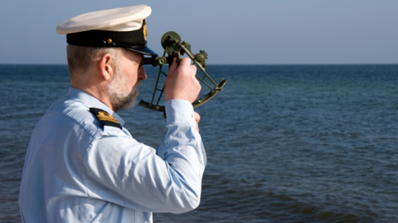
The core idea behind celestial navigation is to use observations of the heavens and tools like a sextant to compare the current positions of celestial bodies with known charts. These elements are virtually unhackable, making them ideal for large vessels like the USS Abraham Lincoln.
Sailors measure angles between heavenly bodies, such as the moon, sun, horizon, and stars. These measurements, called "sights," are then compared with tables and almanacs containing data about predicted angles at different times. By matching these predictions with actual measurements, sailors can determine where a celestial object was at the time of the sighting.
Next, navigators use this data to plot lines of position. Observing multiple celestial objects allows them to determine where these lines intersect, giving an approximate location. They then consider their previous position, known as dead reckoning, and make adjustments based on changes over time. This helps them track the ship's movement and ensure it's heading in the right direction.
Why Celestial Navigation Remains a Valuable Skill
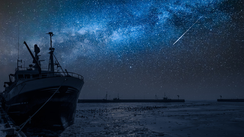
There are several reasons why sailors on ships like the USS Abraham Lincoln might depend on celestial navigation. Issues with GPS systems or the dangers of using electronic and radio systems in war zones can make traditional methods more reliable. By using the stars, these massive vessels can safely navigate away from risky situations, allowing them to resupply or head to new destinations.
This is especially important for ships like the USS Abraham Lincoln, which are among the most critical in America's military fleet. Designed to operate for decades and take years to refuel due to their nuclear design, these supercarriers must always have a plan to navigate safely, no matter the circumstances.
Celestial navigation is more than just a backup; it's a vital skill that ensures the safety and operational readiness of these powerful vessels. As technology continues to evolve, the ability to rely on the stars remains a testament to the enduring importance of traditional maritime knowledge.
Post a Comment for "How the USS Abraham Lincoln Sails Without GPS or Radar"
Please Leave a wise comment, Thank you